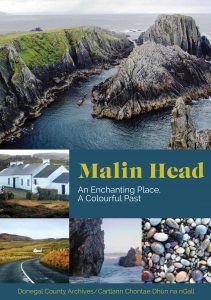
About Malin Head
Malin Head is renowned as Ireland’s most northerly point. The word “Malin” comes from the Irish word, Malainn, meaning brae-face or hill-brow.

Townlands
Malin Head, as a destination, is not a specific town but rather a rural hinterland made up of a total of 21 townlands. Within these there are a number of smaller named hamlets or groups of dwellings. There are very few named roads but these are augmented by other identifying place names and landmarks.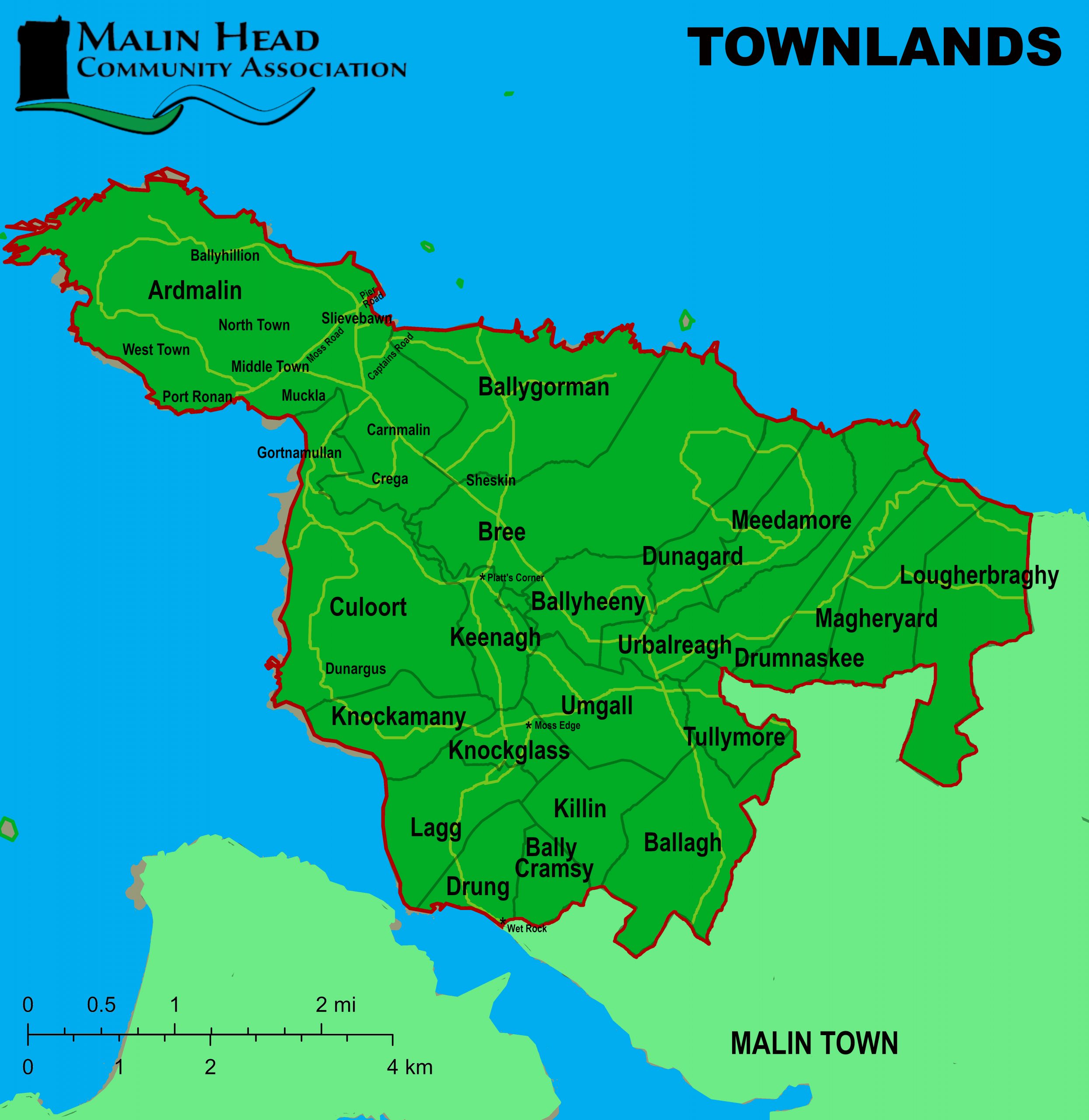
Vistas
From the various vantage points there are views to the west of Fanad Head lighthouse (which heralds the entrance to Lough Swilly) and beyond to Tory Island, Horn Head, Bloody Foreland and Dunaff Head. 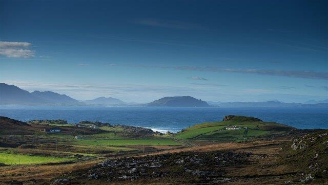
To the northeast lies Inishtrahull Island and looking beyond in the distance, the hills of western Scotland, and the isle of Islay can be seen on a clear day.
Malin Head Weather
Malin Head is statistically the sunniest part of Ireland and also the windiest. The weather has been recorded and reported from Malin Head since 1885. The station, built in 1955, is an important element of the Irish meteorological service Met Éireann.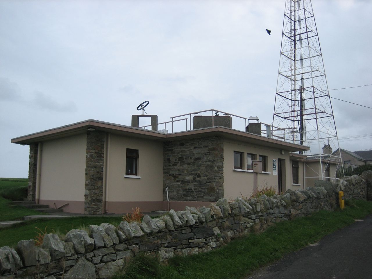
Malin Head On The Map
We’ve all heard the term ‘height above sea level’ but we also know that sea level changes from place to place and with the tide. On Irish national grid maps (OSI) the height is actually measured above the average tide (mean gauge) here at Malin Head, adopted in 1970, it is referenced on all maps as the ‘Malin Head Vertical Datum’. 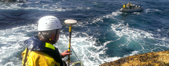
Marine Life
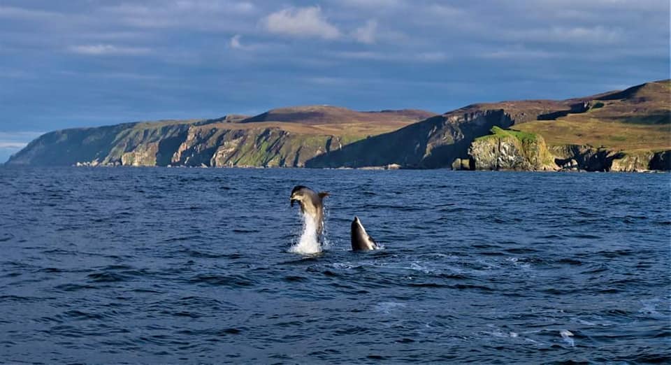
The Malin Sea, as a a marginal sea of the North-East Atlantic, is host to a wide variety of spectacular sea-life. Basking sharks and bottle-nosed dolphins are regularly spotted from the various shoreline viewpoints. 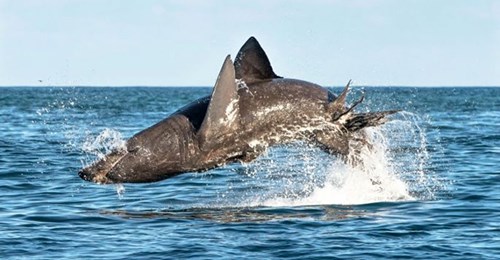
You may also glimpse orca / killer whales, minke whales, sunfish, seals and harbour porpoise, as well as porbeagle sharks.
Shipwrecks
The tempestuous water around Malin Head has become a graveyard of Shipwrecks. There are more Ocean Liners, German U-boats and Sherman Tanks sunk off Malin Head than anywhere else in the World. 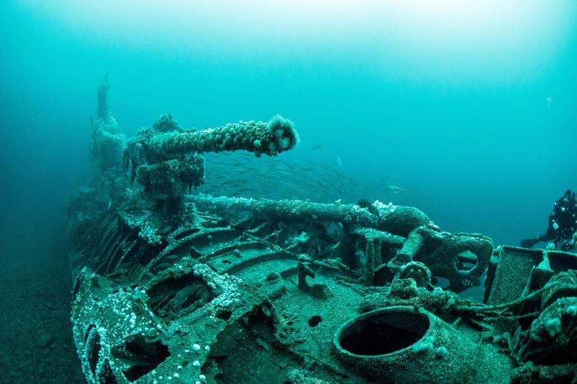
Geology
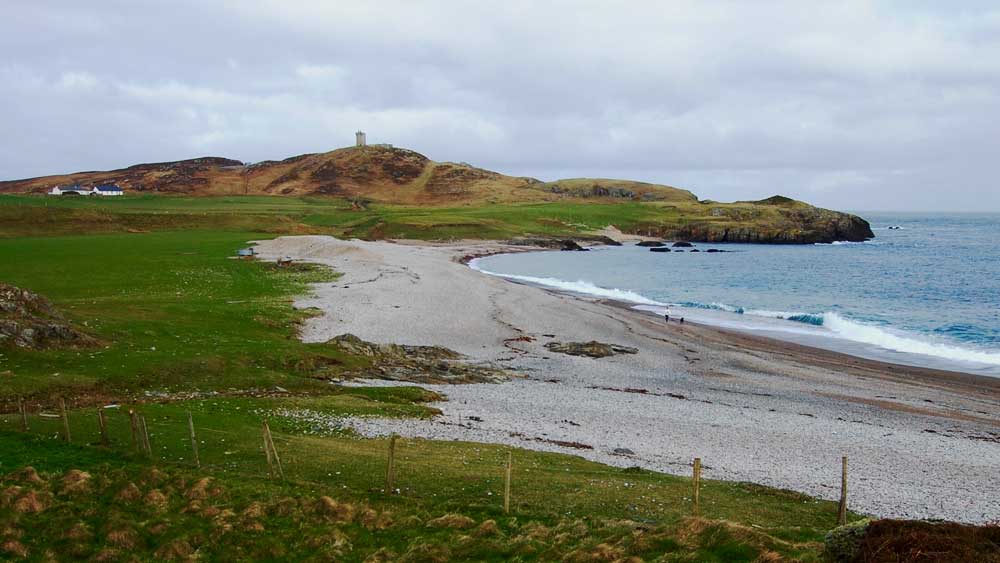
Malin Head is composed mainly of 400 million year old metamorphic and igneous rock but the coastline is awash with a variety of pebbles from all around the world that can include various gemstones. Malin Head boasts a riased beach of particular geological/scientific importance, where four different stages of sea level change (caused by glacial melt at the end of the last Ice Age) can be clearly identified.
Landscape & Vegetation
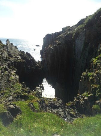
The distinctive rugged features that form the coastal landscape of Malin Head were, and still are, viewed with respect and trepidation by locals and are central to many folktales passed down through the generations.
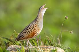
Moving away from the coastline, the landscape of Malin Head is a colourful mix of bog, heather and agricultural land which is home to a variety of fascinating wildlife and bird species, including the illusive Corncrake.
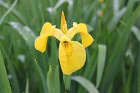
Out of a total of around 815 Irish flowering plant species, more than 500 are indigenous to Malin Head. The northern location and highland character of the area form the ideal habitat for ‘plants of hills’, such as the delicate Yellow Iris and the rare Scots Lovage.